Preparing for the Shikoku Henro Pilgrimage in Japan by March 2024 has been an exciting journey for my friend and me. As we gear up for this incredible adventure, we knew serious training was essential. Our goal is to hike about 15 to 20 miles each day to complete the pilgrimage in 48 days. To help us get ready, we took our neighbor’s advice and decided to hike Fiske Peak Trail. This 7.5-mile trail offers a challenging ascent of over 2,300 feet, rewarding us with breathtaking views along the way. Plus, it’s dog-friendly, so I could bring my loyal hiking buddy, Shadow, with me.
Getting to Fiske Peak Hiking Trail
To get to Cache Creek Canyon Regional Park from Sacramento, we took I-5 North toward Woodland and then exited onto Hwy 16 towards Esparto. Along the way, we passed Cache Creek Casino and the charming towns of Guinda and Rumsey. After Rumsey, we spotted a left turn marked by a sign for Cache Creek Canyon Regional Park, guiding us to our destination.
We arrived at the parking lot around 9:30 am and were surprised to see only two other cars parked there. Although there was a sign indicating a $10 parking fee, we learned that, as of December 2023, there was no enforcement, so parking was free that day. The area felt quite deserted, likely because it was a Friday.
While there was a public restroom available, it was not well-maintained and didn’t have basic supplies like toilet paper. So, it’s a good idea to bring your own! Now, with the parking sorted, we were ready to start our adventure hiking Fiske Peak Trail and enjoy the beautiful scenery ahead.
Finding Your Way to Fiske Peak Trail
To access the hiking trail for Fiske Peak from the parking area, start by heading away from the restroom. As you walk along this path, you’ll soon find a newly built bridge that leads toward the trailhead. Keep an eye out for a sign on your left that points to Fiske Peak via Blue Ridge Trail; it’s easy to overlook! After crossing the bridge, make sure to glance left to catch it.
If you continue straight for about a mile, you’ll see another sign that indicates Fiske Peak is around 4 miles ahead. This out-and-back trail covers a total of 8 miles, offering plenty of beautiful scenery along the way.
As you prepare for your hike, be cautious of ticks, especially in the summer or if you’re hiking with pets. Fiske Peak Trail has a known tick presence, which is why there are warning signs for hikers. Luckily, Shadow was protected by his tick medication, so we didn’t have any issues during our hike.
Challenging Start

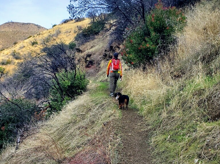
As you start hiking the Fiske Peak Trail, be prepared for a narrow path that runs along cliffs, so caution is essential. This initial stretch features numerous switchbacks and requires a good amount of climbing, making it a bit challenging.
When we hiked in December, the trees and bushes were overgrown and showed signs of lack of maintenance. Therefore, I highly recommend wearing long pants and sleeves for extra protection against any branches or scratches.
After about three miles, the trail narrows even further as you head toward Fiske Peak. In the final mile, you’ll be greeted by interesting rock formations, which provide a refreshing change from the earlier cliffside paths.
Despite the narrowness at the start, the trail rewards your efforts with stunning views of the surrounding landscape. Each step brings you closer to the beauty that awaits at the peak!
Hiking Fiske Peak Trail with Spectacular Views

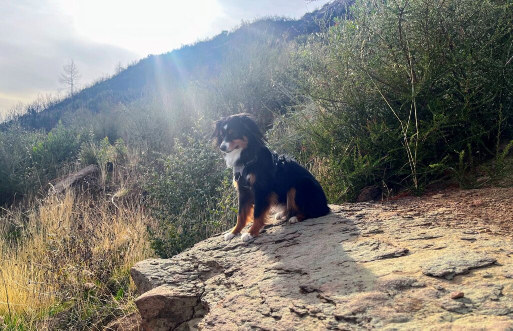
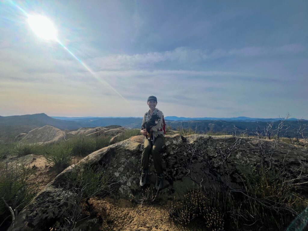
The final stretch toward the summit of Fiske Peak offers a pleasant contrast to the earlier parts of the trail. The last half-mile is relatively flat, making it easier to approach the top. When you finally reach the summit, the breathtaking view is well worth the effort. Even my 9 1/2-pound Toy Aussie, Shadow, tackled the hike with ease and enjoyed the stunning scenery.
At the summit, you are rewarded with breathtaking views of the surrounding landscape. Majestic peaks stretch across the horizon, from Mt. St. Helena to Goat and Snow Mountains in the northwest.
If you take a brief detour to the right, just a few minutes to point 2,631 atop the ridge, you’ll discover stunning views into the canyon. Also, don’t forget to check out the summit box! Inside, you’ll find signature pages dating back to 2012. These pages highlight the trail’s popularity and the adventures of past hikers.
Descending Fiske Peak
Descending the Fiske Peak Trail requires caution, especially after rain, as the paths can become slippery. The narrow trails can present a challenge, so it’s essential to stay attentive while making your way down.
Thankfully, there are inviting rock formations along the route that make for a perfect spot to take a leisurely lunch break if you didn’t eat at the summit.
When planning your hike, expect it to take about 3 to 5 hours, including a possible half-hour for lunch. The total duration depends on your fitness level, hiking pace, and how many breaks you take along the way.
Staying hydrated is crucial, particularly in warmer months, so be sure to carry plenty of water. Additionally, packing a satisfying lunch is a good idea, as the trek will surely work up your appetite by the time you finish.
A Worthwhile Hike
While I truly appreciated the Fiske Peak Trail, my heart still belongs to Stebbins Cold Canyon, my favorite local hike. Cold Canyon offers shorter yet challenging climbs, and I love the option to trail run during the descent—something I didn’t feel comfortable doing on the Fiske Peak Trail.
That said, Fiske Peak provided a solid workout and breathtaking views that made the effort worthwhile. During our entire 4 1/2-hour hike, we didn’t encounter any other hikers, which added to the trail’s seclusion. While I enjoyed the solitude, I wouldn’t feel confident hiking alone on Fiske Peak. However, if given the chance, I would eagerly repeat the experience, as the beauty and challenge of the trail are definitely worth it!
Be sure to check out my other favorite hike in San Diego: the Mt. Woodson Trail. This stunning trail leads you to the iconic Potato Chip Rock, a must-see for any hiking enthusiast!


